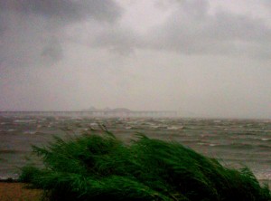
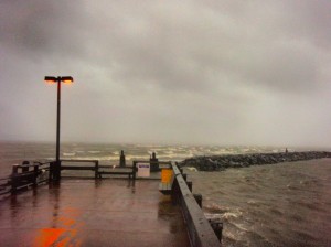
 The Bay Bridge is now closed due to sustained winds of 62 miles-per-hour and gusts from 72 to 80 miles-per hour. That was at 7:30 PM and the wind continues to build. We’ve lost a few big limbs from trees around the house, and we can hear trees coming down back behind our fence and around the neighborhood. The power has blinked a few times, but has fortunately stayed on. The center of the storm is now back over water and looks to be directly between Cape Henry and Cape May at the mouth of the Chesapeake Bay moving north toward Ocean City, Maryland. That’s still well to our south, so we have lots more to come.
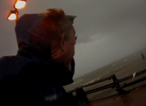
 Despite the conditions, I couldn’t resist a hike around the area to watch the storm. It was quite an adventure. I visited Matapeake Pier and the beach at Terrapin Nature Area. Winds were sustained at 50 knots while I was out. I was surprised to see the Bay so rough even though this side of the island is protected from the northeast winds. I’m sure things look a lot more dramatic on the western shore. There is no storm surge at this time. I’m feeling a lot better about that since winds are now pushing water out of the Bay instead of in. I shot a few minutes of video while I was out. For some reason it doesn’t want to embed, so click here or on the photo if you can’t see it: Hurricane Irene, Kent Island, Maryland


Five minutes after posting this we lost power. It looks to be off as far as we can see around the island.
Thanks for the updates and video. Our thoughts and prayers are with you. I forwarded a link to your blog on to my sis who evacuated the Island with her family and my mom. ~ Linda in VA
Thanks for checking in Linda.