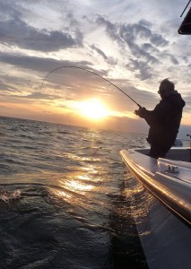
 Savvy Chesapeake anglers recognize an event that happens every fall that has significant impact on light tackle fishing. In summer months, the waters in most areas of the Chesapeake Bay stratify so that it is cooler, denser, and saltier down deep, but lighter and fresher near the surface. In the fall, as temperatures cool and strong cold fronts bring lots of wind, the water is stirred up so that the top layer eventually reaches the same density as it is down deep. When that happens the surface water sinks so that for a while, temperatures and salinity are about the same top to bottom. It doesn’t happen all over the Bay at the same time, but it’s easily recognizable to fishermen because we start noticing that fish are feeding at much deeper depths. In some parts of the Maryland portion of the Bay, we are currently experiencing the fall turnover. This can be both good and bad for fishing.
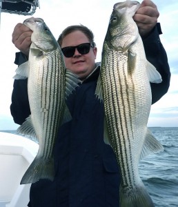 Stripers don’t feed in very deep water during the summer months because there isn’t enough oxygen in the over-polluted Bay. I haven’t seen any stripers feeding in areas deeper than 30 feet since early last spring. That’s a little different than previous summers when I could sometimes find nice fish feeding deep at high turbidity areas like the Bay Bridge rock piles. Last weekend we had cooler temperatures along with very strong northwest winds. This resulted in very low tides, as low as I’ve seen all year. In addition to the wind, a strong tidal surge pushed along by a full moon caused the upper Bay to flush like a toilet bowl. Things ebbed and flowed over the next couple of tide cycles and the fish were in shock. Fortunately things have now settled down and we have consistent water temperatures top to bottom in many portions of the Chesapeake Bay.
Once I had an idea of what was going on this week, I headed out to some fishing spots I know to be good when fish are feeding deep. This is a different pattern than I’ve been working the past couple of weeks, but I thought I might get lucky. My suspicions were confirmed when I pulled up on a ledge that drops from 16 to 35 feet and the fishfinder lit up top to bottom with big bait and nice fish. I worked that pattern the past three evenings in a row.
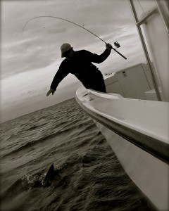
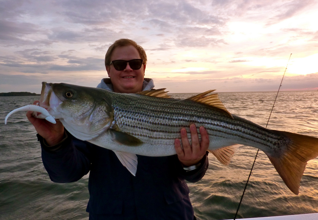
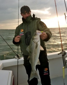 My fishing partners and I caught nice fish every evening with last night turning out to be the best of the three. I was joined by my friends and past fishing partners Joe and Dave along with Joe’s co-worker Joey. Joey has been turning out some fantastic work for the Maryland Department of Natural Resources (DNR). It’s obvious he has a interest in things both sporting and scientific and he has an excellent eye for art. That fits the high-tech redneck formula for people I usually get along with, so I was anxious to get to know him better. Turns out he’s also a fine fisherman. In fact, he out-fished both the old salts and young guns on Thunder Road last night. I think he finished the night with sore arms from dragging in nice fish. Since he was slipping and sliding around on the slippery deck a little (some of our fish were dripping sea lice), he may be sore in other places too. You can read his report complete with photos and video on the DNR’s Angler’s Log website.
I’ll stay with the current pattern with fish at all depths for as long as it lasts. As the turnover occurs in different parts of the Bay, expect fishing to be tough in some places while it’s wide-open in others. Eventually, the warmer water will start to settle deep and we’ll see an opposite stratification pattern than what we had in the summer. I’m already seeing some pycnoclines at approximately twenty feet in the upper Bay and also around the mouths of the bigger rivers. In areas of higher stratification the bait will hold deeper in the fall, and so will the fish. Check this article for more information about temperature and salinity in the Chesapeake Bay. Also, stay tuned. We should start getting more consistent slugs of bigger fish moving up from the south this week and next. Brace for the next strong cold front to deliver some really nice migratory stripers. Good luck and I hope to see you on the water.


Another excellent read !
Thanks,Shawn.
I really like reading and trying to understand all the technical info as it relates to figuring out these fish and where they may be at any given time.
Do you know if the temps provided by NOAA buoys are surface temps. or below the surface?
Thanks
Awesome read Shawn. Thanks for putting in the time and sharing all of this great information. Looks like a lot of smiles last night!!
Thanks Shawn. This is an outstanding read.
Great info Shawn. My buddies and me jigged a 50 ft hole in the Choptank Sunday and pulled in nice fish for 2 solid hours. We commented about the depth and the tide but didn’t understand it , until I read this . Great stuff as always. Thanks Dave
I had the same experience on the East side today. Nice fish way down deep in a place where I’ve never seen them before. They would come up to the surface occasionally, but you could catch the bigger ones down 30 feet. They weren’t there two weeks ago.
Appreciate the comments and glad I’m not the only one to notice the changes. Roger, water temps are taken from moored buoys so they are usually surface temps. However, some buoys are deeper than others, so it depends on the type of buoy at the measurement site. Yeah, it’s confusing. Here’s a description of the different types of buoys and measurement depths. http://www.ndbc.noaa.gov/bht.shtml For practical purposes, I just consider them all to be surface temps.
Do you think it has turned over or is turning over on the western shore yet? I went fishing last weekend thinking I would be sheltered from the wind on this side but we couldn’t catch any fish no matter where we went. I wonder if that’s why?
Thanks for the trip Shawn!
Great read as usual Shawn…afer 2 days of hard fishing my arms are sore…after reading this I can’t wait to get out there again…
Great piece, Shawn! The nine NOAA buoys along the Captain John Smith Water Trail all have surface sensors. The only one currently providing bottom observations is on the Dominion Reef at The Gooses, in the main Bay off the mouth of the Little Choptank. These buoys provide near-real-time updates (every ten minutes) on both weather and water quality. Visit them at http://www.buoybay.org or call 1-877-BUOY-BAY any time. (That’s me on the tape. I just sit out there, waiting for you to call.)
Best regards, John Page
Shawn,John.Thank you for the info,much appreciated.
.
Great info Shawn,I’ve learned a lot from you. Thanks for all the effort you put into this.
Bill
We found stripers top to bottom in 37 feet off Chesapeake Beach today.
Fished the Cedarhurst area of the bay 10/28/10 and had tremendous success from 4:30 PM to 6:00 I started out of Breezy Point and traveled north 15-20 miles looking for marks or birds. In 30 foot of water at Cedarhurst, I noticed birds laying on the water around 2:30PM There were no birds flying however I say 200 birds sitting on the water which were the larger birds. I tried jigging to NO Luck and decided to go to Bloody Point area. Still no luck so I went back to the birds sitting and sue enough the birds were up and telling me where to fish. Caught 20-25 fish all 5-6 pounds in an hour and 1/2. I left the fish for I had a 25 minute boat ride back to Breezy. Great fishing day even if the action was only 1 1/2 hours. Largest fish was 29 inches, all others were 25 to 28 inch range. Lots of fun.
Jerry Schmeider
Great reports, Jerry and Jesse. Guess that answers the questions. JP, thanks for the comment. To all, JP’s book _Chesapeake Almanac_ is the bible for identifying seasonal patterns for fishing the Bay. I’ve read it twice through and refer to it on almost a weekly basis. Get it if you can.
Thanks Shawn …just what I was looking for.